Mapping the Location
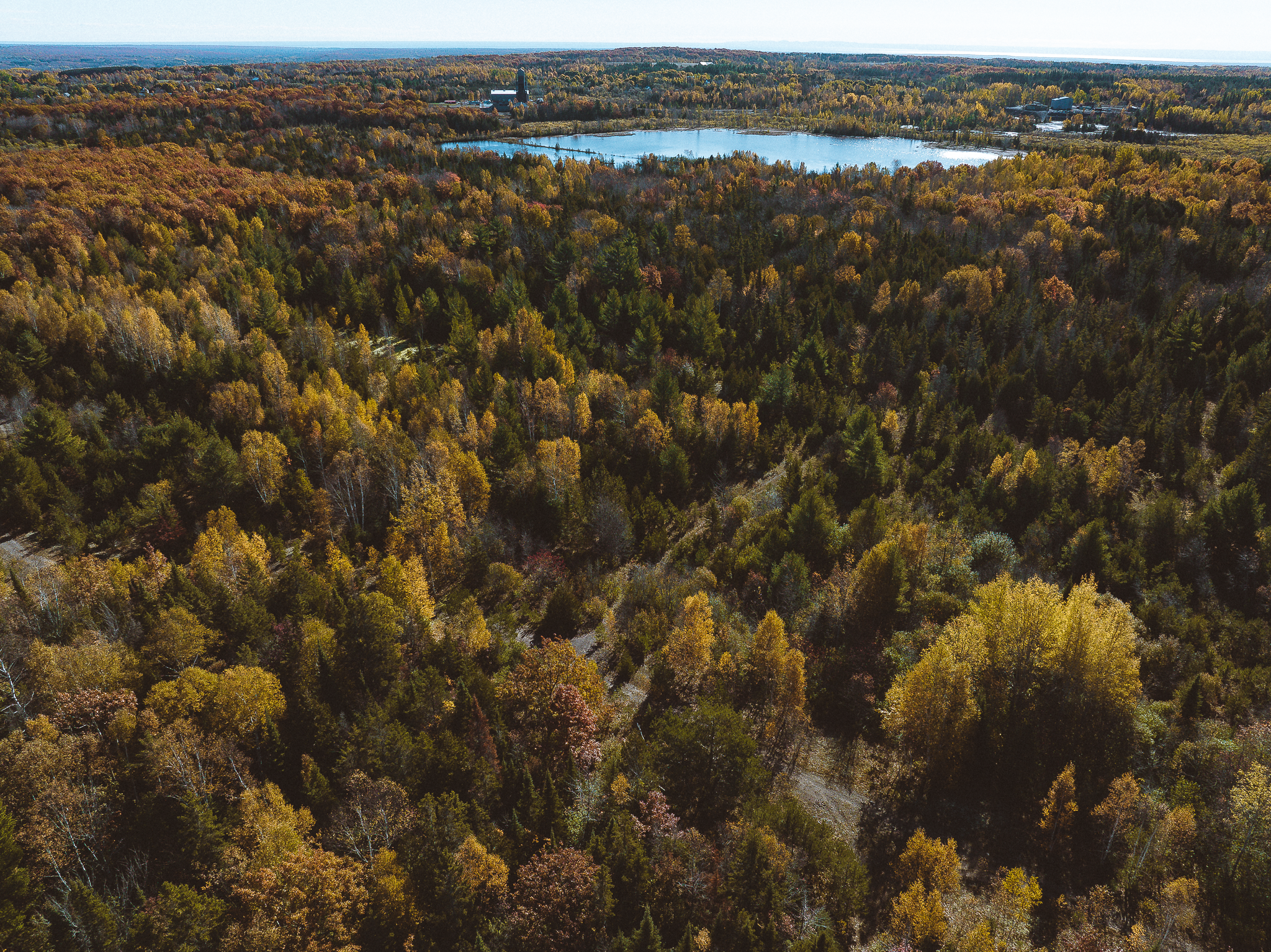
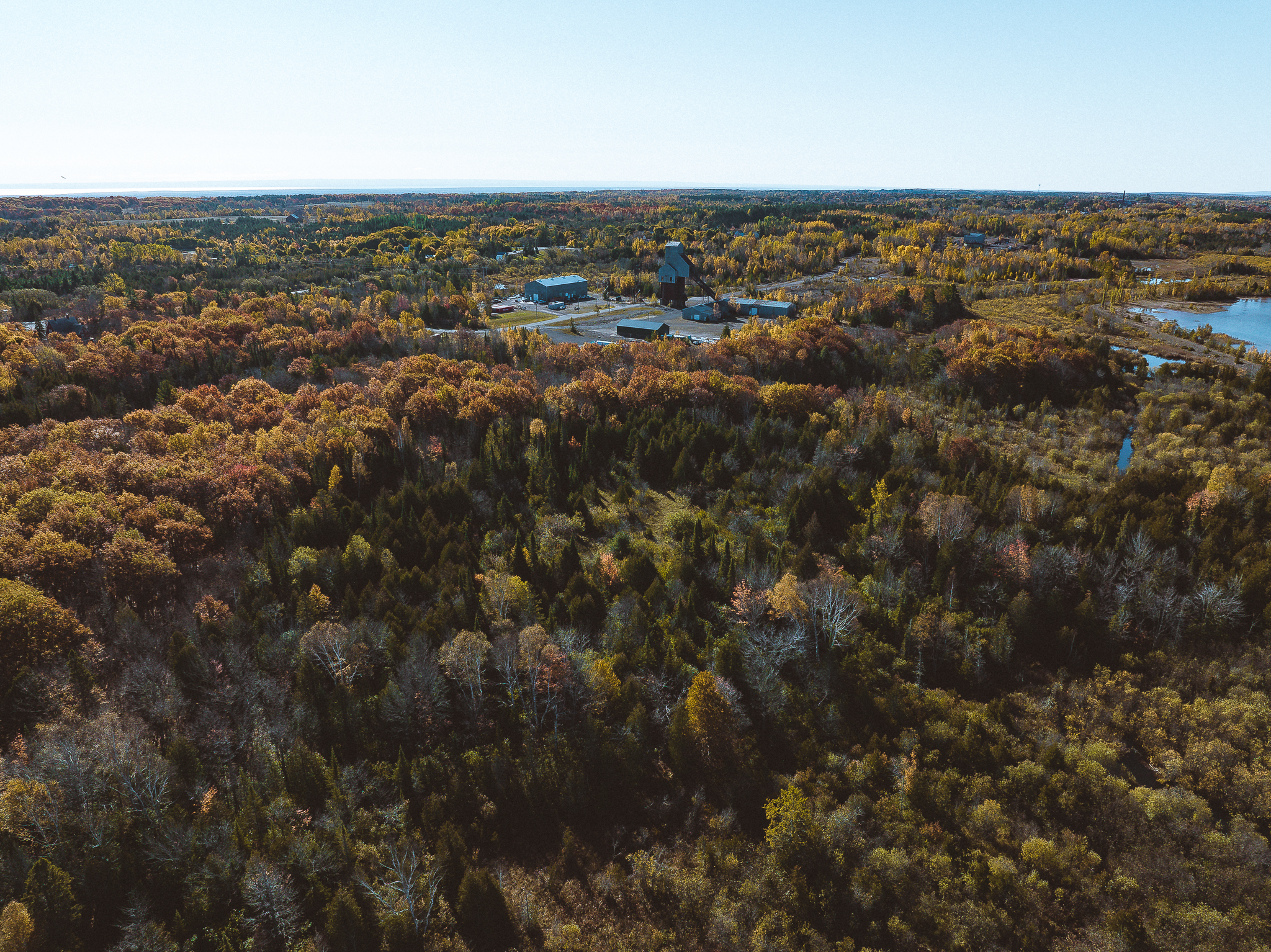
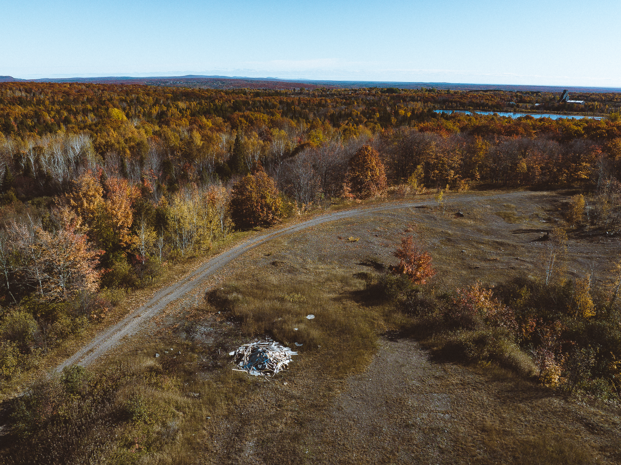
Last week, my friends at 2nd Sandbar Productions used their drone piloting and photography skills to take some great shots of all the areas described below. Thank you, Amanda and Daena!
Police reports and newspaper clippings hint at the location Karl’s partial remains were discovered. You can find a summary of information related to the location of Karl’s remains on The Case page, sourced entirely from the historical record and without any added input from me. In this post I’ll provide a more detailed description of the location, based on my own interpretation of the source documents and the roughly 8 hours I spent in the woods north east of Centennial Heights in 2022. I’ll share map overlays and possible suspect routes that can help narrow our focus on areas of interest.
Understanding exactly where Karl’s remains were discovered helps shape the story of the end of his life. If it’s a remote location, how did he get there? If it’s near a trail system, why wasn’t he found sooner? Also of interest here is that only two of Karl’s bones were ever discovered, along with his nearby scattered clothing. That leaves 200+ additional bones that could still be lost in those woods, as well as his shoes, which were never recovered. If we can better pinpoint the location, we can continue the search for Karl’s missing remains.
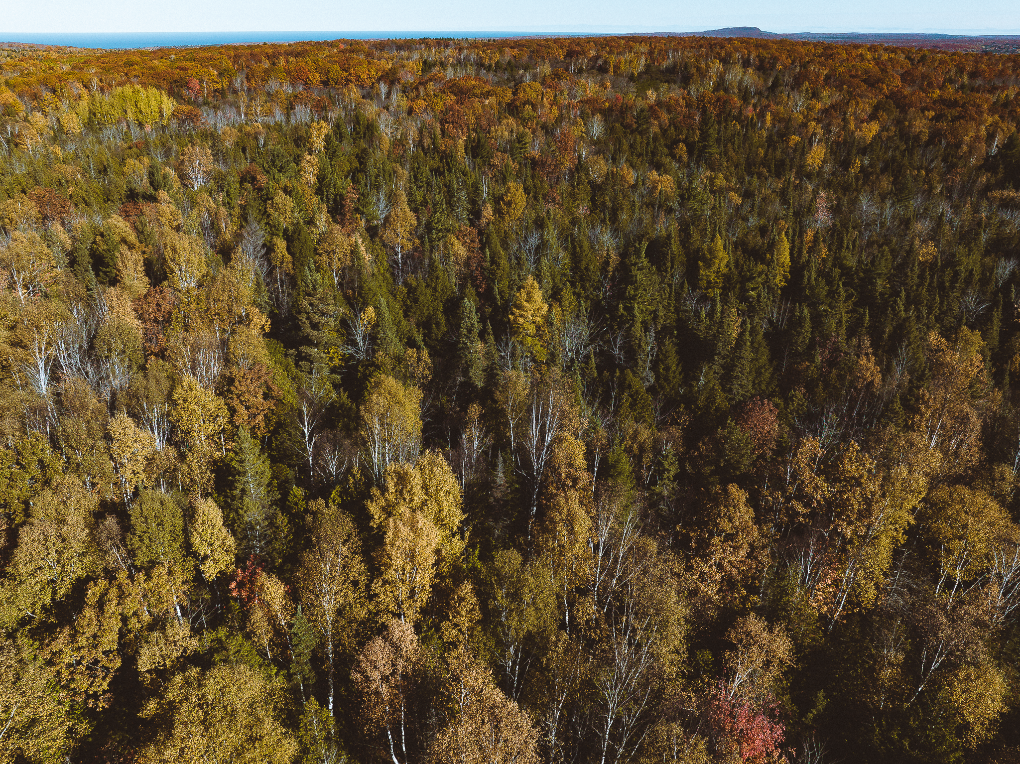
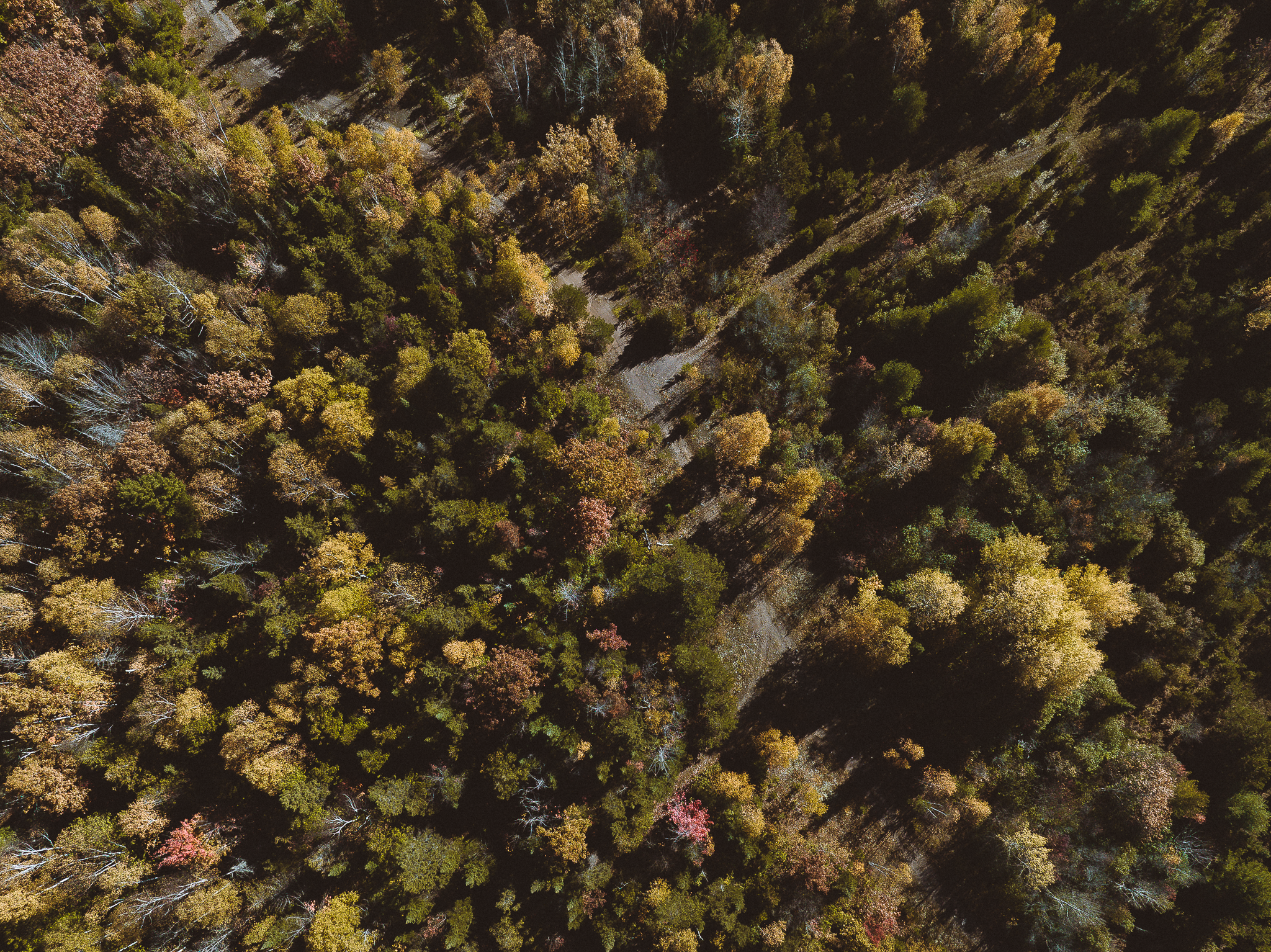
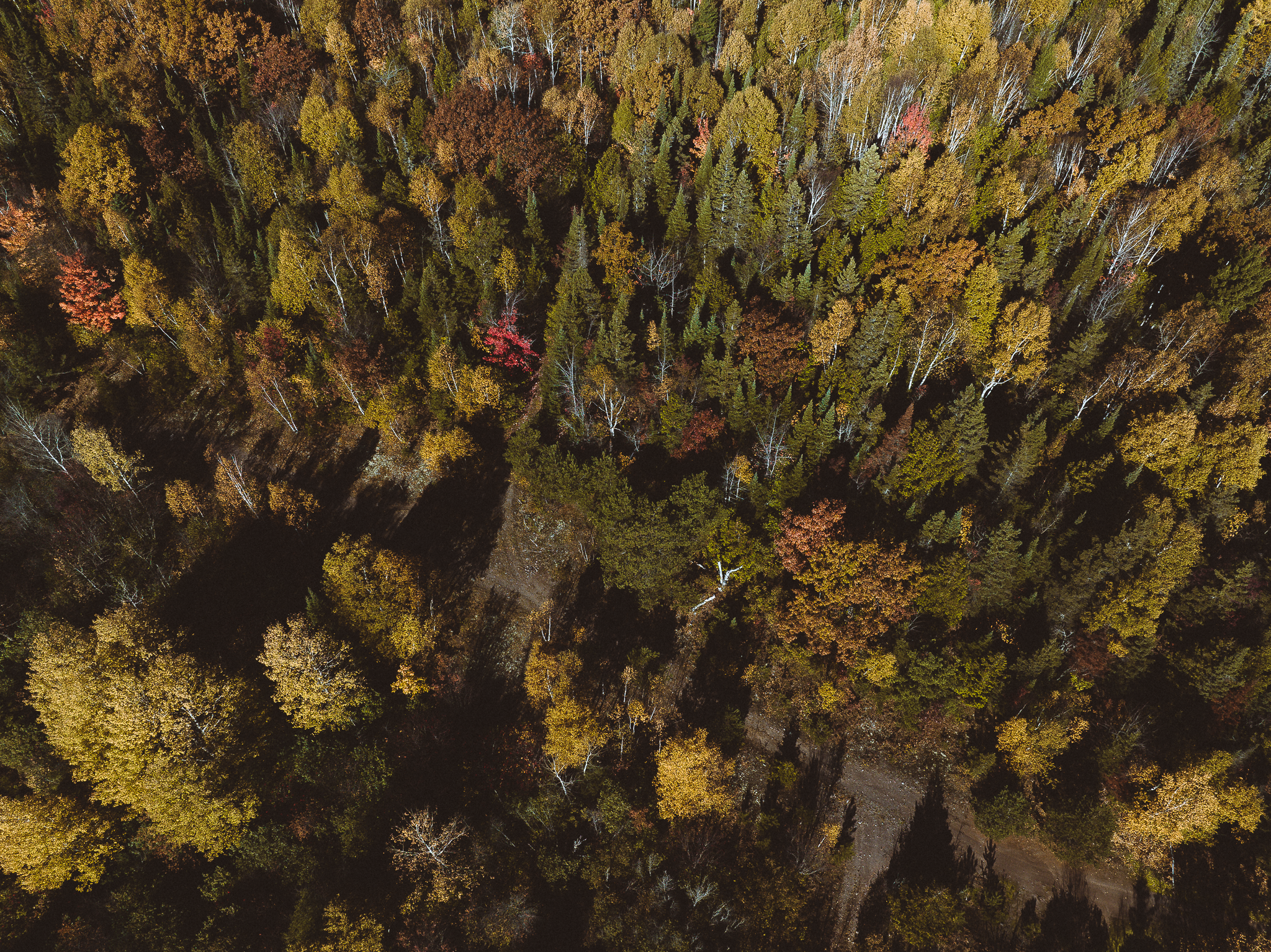
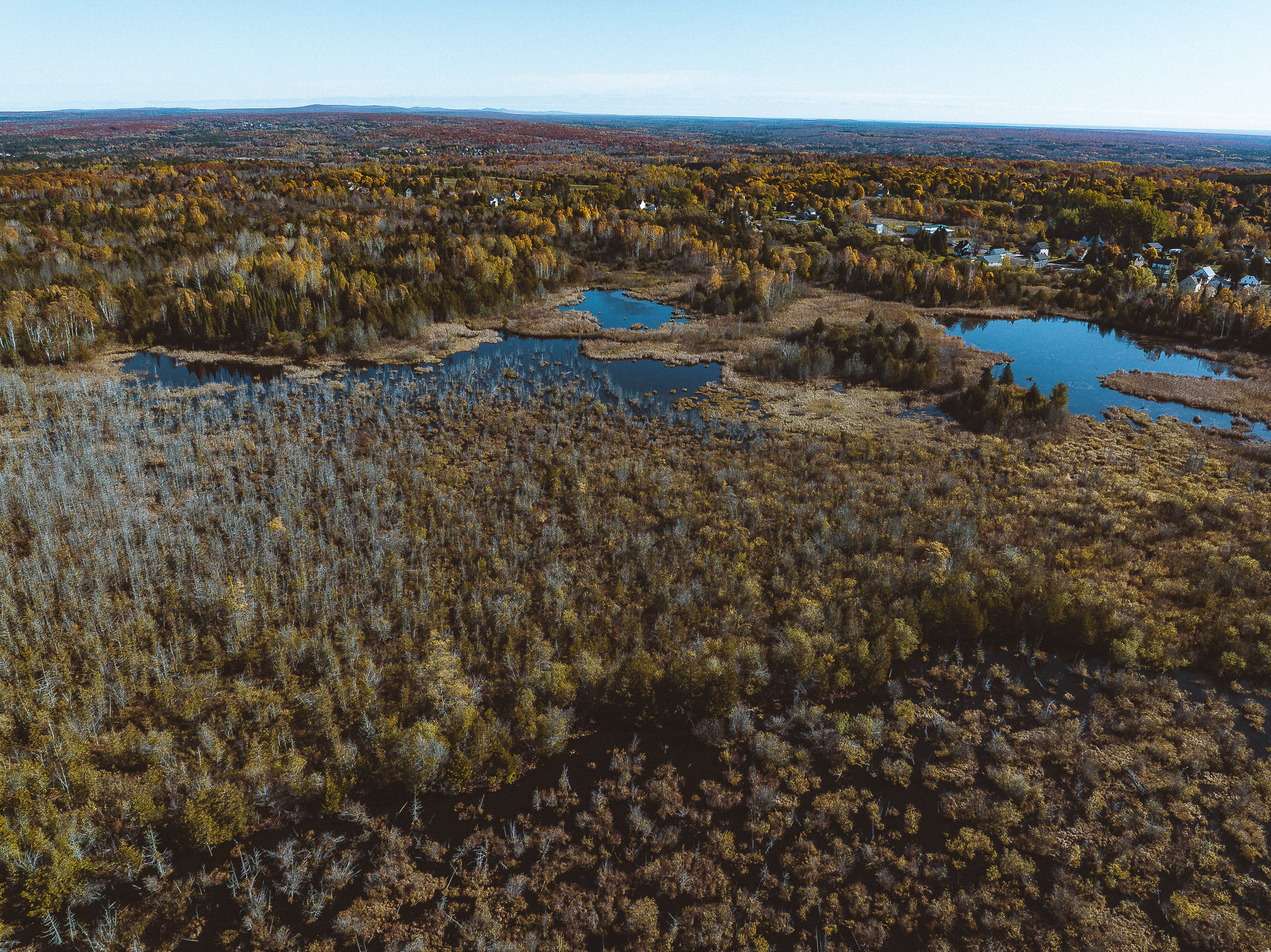
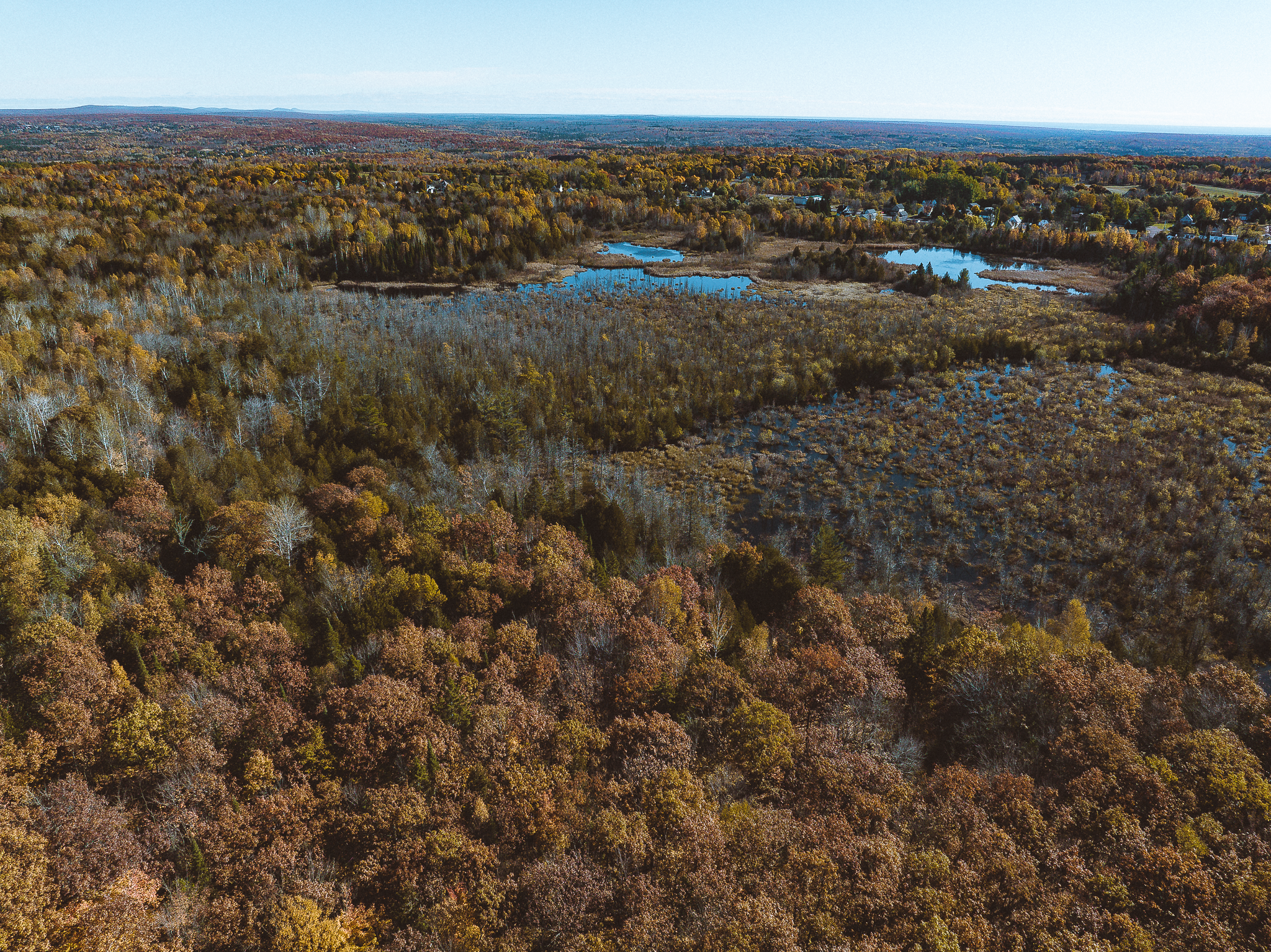
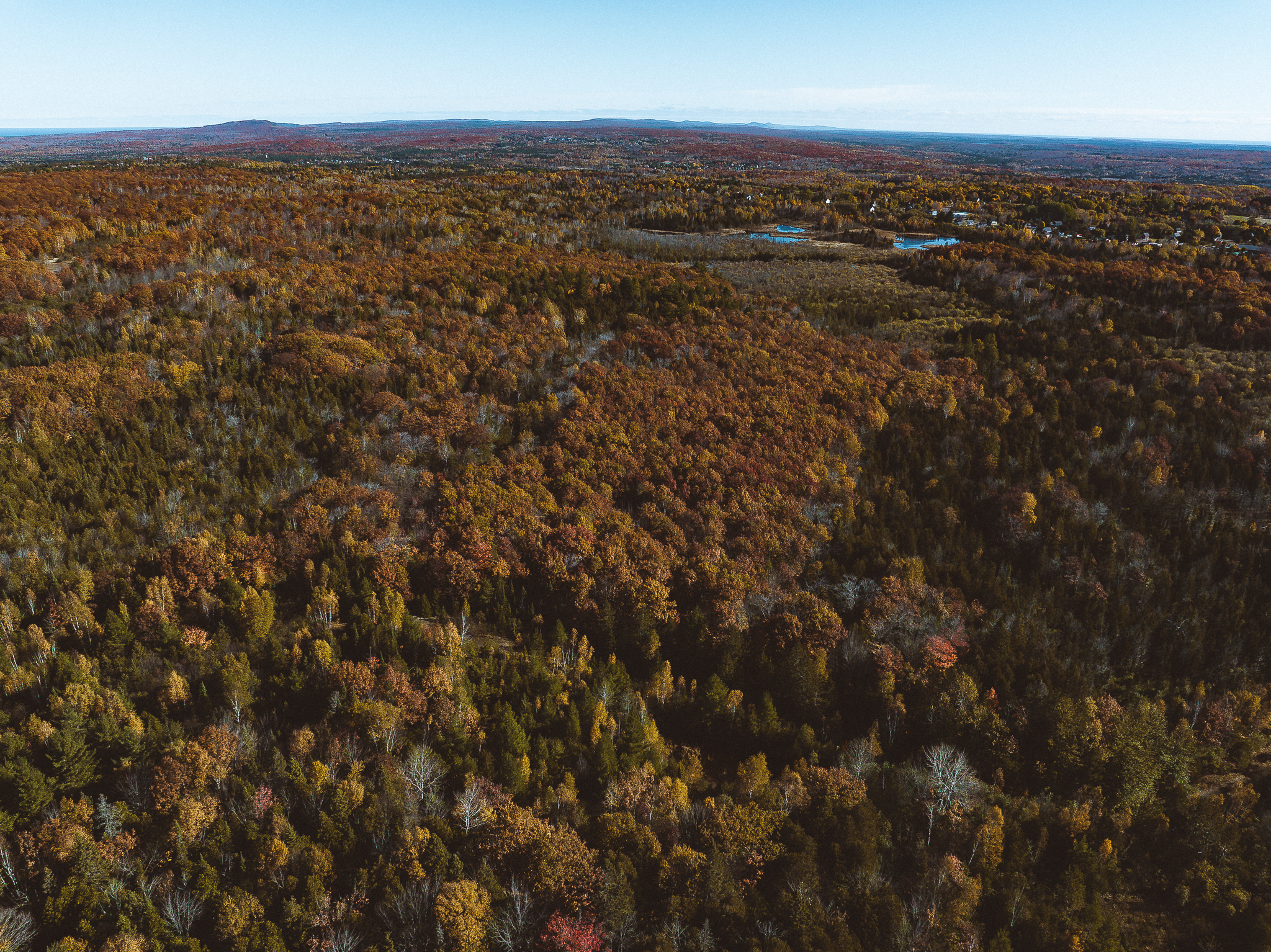
In the spring and summer months of 2022, I spent time in the Centennial Heights forest with friends, becoming more familiar with the area that Karl likely spent his final moments. We hiked somewhat aimlessly through cedar swamps and dense thickets of tag alder, eyes to the forest floor, scanning for the bright white of bone and Karl’s faded blue sneakers. 40 years of foliage had fallen from the trees, decomposed, and worked their way into the soil and swamp. We knew it was a fool’s errand - without training and experience on forested ground searches for human remains, we were poking around in the dark.

Our tracks during a few different visits in 2022.
Retired Detective Sergeant Bob Ball was the Heikell case lead from 1984 through 2003. On several occasions, Ball visited the location with his peers in law enforcement to search for further remains. There’s probably no one alive today who visited the location as many times as Ball. But decades have past, and he no longer remembers where exactly Karl’s clothing and bones were discovered. If Ball can’t remember, there’s probably no one that can. We’re left with the few details we have from newspaper clippings and police reports to guide our search.
One of the best descriptors we have is from the 1984 newspaper clipping about the discovery of Karl’s remains. In the article, detectives state that the remains and torn clothing were found in a heavily wooded area northeast of Centennial Heights. The location is described as being on the edge of a swamp and covered with a thick growth of trees and brush. In a September 1984 police report, detectives also state the location of the remains is about .5 miles northeast of the Heikell home.
We can look to 1980s era topographic maps to see what the landscape of Centennial Heights and surrounding areas looked like, which is helpful in discerning the border of the swamp at that time. In the map images below, you’ll see an outline of the swamp area as defined by the 1980 topographic map, and the same shaded swamp area overlaid on a modern satellite photo. This helps us visualize the swamp border in the 1980s and where that same boundary would appear today. I was surprised at how little the landscape seems to have changed in the last 40 years.

A side-by-side comparison of the swamp border in 1980, and then overlaid on present day satellite imagery.
The swamp border encompasses a huge area of wetland that goes far beyond the .5 mile mark referenced by police. I created a version of the modern satellite imagery that includes the swamp border and a .5 mile arc with the Heikell home at its center. This visual shows what I believe to be the most likely area in which Karl’s remains were discovered: the intersection of the swamp’s border and the .5 mile mark. Of course, all of this is contingent on the accuracy of the information we are looking to from the historical record, which is almost certainly also approximate. This location is also consistent with the route labeled “Palovaara’s Suspected Route - 2” on The Maps page.
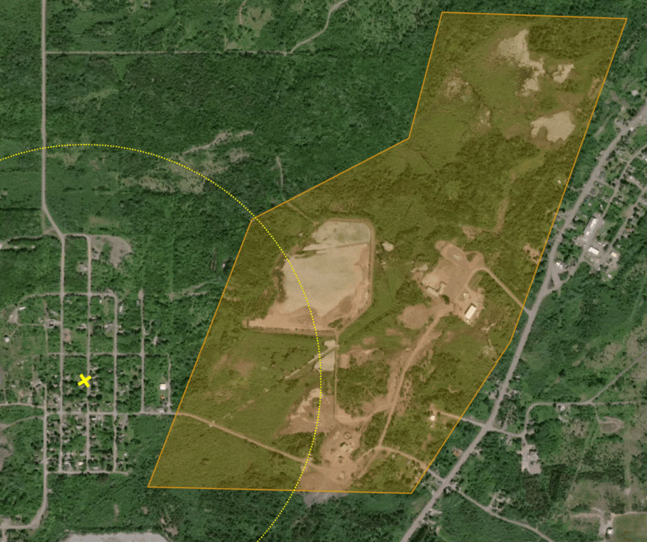
The Heikell home is marked with a yellow X. The yellow circle represents .5 miles from the Heikell home. The blue circle shows the intersection of the .5 mile mark and the 1980s swamp border.
It’s also worth noting that there is a discrepancy between the original police reports and the probate court documents when it comes to the location of Karl’s remains. In the 1981 - 1985 reports, police always describe the location as .5 miles north east of Centennial Heights, and sometimes, more specifically as .5 miles north east of the Heikell home. However, the Houghton County probate court documents, created 1 year after Karl’s remains were discovered, states that the remains were found .25 miles north east of the Heikell home. However, the .5 mile figure is used in the 1981 - 1985 police reports even after the probate court issued their findings, so I tend to think the probate court’s .25 mile figure is simply an error.
As mentioned on The Case page, police detail the route they suspect a killer may have taken, driving from the Harter’s store on Pine street to an area he parked, before walking into the area where Karl’s remains were discovered. On The Map page, I shared what that route may have looked like, based on my own interpretation of the police description. But in recent weeks, it occurred to me that there could be an alternative route that still mostly meets the police description. Fourth street in Centennial Heights also has access to a trail head that leads to the #6 mine’s tailing pond. It’s possible to drive about 1.9 miles from Pine street, into Centennial Heights, and down the Fourth street trail, just as the interactive map suggests the suspect did on a trail north of Centennial Heights. However, I don’t know if that Fourth street trail existed in the same location in 1981. I do know that the trail leading north east of Centennial Heights, detailed in “Palovaara’s Suspected Route - 1” on The Map page, was there in 1981 and long before that. Karl’s sister, Patti, remembers their father saying the trail was there even when he was a kid.
At some point soon, I’ll work on updating The Map page to reflect the possibility of a second suspected route. In the meantime, another blog post is in the works regarding the many sightings of Karl in the woods on the day of his disappearance. There are some interesting connections to be made there that police don’t delve into in their reports. That post will also include some information from a witness not in the original police reports, whose sighting of Karl near the Calumet Dam area on Halloween may be the very last credible spotting of the boy that night. Stay tuned!
_
Hello! Just adding a note here to say The Map page has been updated with the a second possible suspect route.